Features: Blueberries (Spring), Panoramic Views,
First off, the trail is not located in Georgia. From where I live in Northeast Atlanta, it was around a 4 and 1/2 hour drive and probably the most rewarding hike I have ever been on. Words cannot describe the views that you will come to love on this trail so be sure to bring a camera. The views reminded me of those from the land Rohan out of Lord of the Rings. The views come with a price of bearing the rough terrain, but are worth it for any backpacker who likes a solid hike.
Specific Road Directions to Come
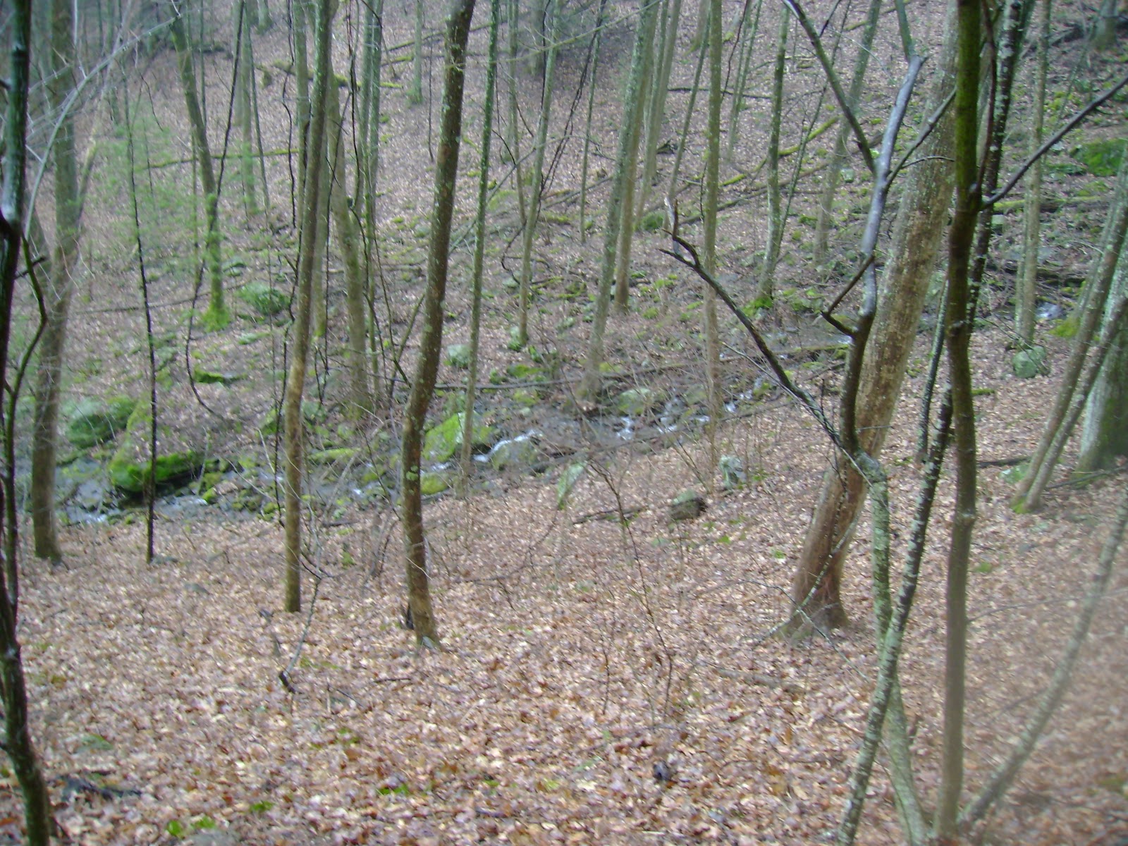
After a few minutes of climbing up through some spruce groves, you will immediately see the views this trail has to offer. You will also notice that trail is very worn down, deep, and usually muddy. This is especially true on top of the balds or even after a rain from days before.
We continued on from bald to bald. At times, some of the bushes will tower over you and the feeling of being in some sort of corn maze comes to mind. The actual trail has steep drops and climbs so watching your step is a must. The rims of these cliffs in the trail were taller than me at times and I am 6'5" to give you an idea as to what you will be through at times.
Eventually it opened up and you could see the epic magnitude of the mountains. The sheer scale is a wonder to those who had never seen panoramic views in person, like myself, at the time. You can see Mount Pisgah, Sam Knob, Cold Mountain, and more. There are also swaths of dead, white trees. After pressing on and watching your step around the cliffs and rocks, you will eventually come out to Ivestor Gap in a grassy cove opening. It was hear we also found rope buried in the ground and what appeared to be railroad tracks. Our suspicions were confirmed when a fellow hiker told us the reason the area was so open and without trees was because of the logging that went on around the time of the civil war!
Fortunately for us, my friend had been on this trail before. He pointed out the trail the right and going up was the Art Loeb Trail. The one on the left was the Ivestor Gap Trail. We took the Art Loeb Trail up to the Grassy Cove Summit. This is also where the "Shining Rock Wilderness" sign can be seen in my pictures for a marker.
You will come across a small wooded area. We thought we saw a wild horse in this area coming up on the trail that just turned out to be 2 horses without a rider and their owner following behind. After that, we ran into a forest range who warned us of a bear in the area that was not afraid to snoop around humans for a snack. He reminded us of the proper procedures to follow and we thanked him for his time and effort for what he did.
The path then leads to another, but smaller grassy cove type area where we saw people having a picnic. The trail is not clearly marked here and I will update with a picture and better description after talking with my friend.
The climb to the top is not far now, maybe another 20 or 30 minutes or a quarter mile. We got there right around 4:00 P.M. or so and the views were gorgeous. We had checked the weather the night before because we intended on spending the night up there. After setting up camp, we were able to really enjoy the sanctity and peace of being up there alone with nothing but pretty skies.
The area we camped was a nice grassy patch around 6200 feet up. As sunset approached, we were disappointed to see clouds rolling in because of the possibility of rain and the clouding of a starry night sky. We did not see a great amount of stars but my friend did go back, had a clear night, and said it was the most stars he had ever seen with even a faint hue of our actual Milky Way.
I will clarify that fires are not allowed which we did not know this at the time. We got away with making one but it was pretty difficult finding good firewood that high up. Then the weather, especially the wind, really picked up throughout the night. The wind was so bad at times that the tent vibrated to the point where my friend and I convinced a bear had growled outside our tent. Fortunately, we did not have any encounters with the bear and we had also tied our food away and up a tree.
After what felt like a few minutes of sleep, I finally couldn't go back to bed. That did not matter because I was able to watch the sunrise and take some of the best photos to date. I will let you look for yourself but they were just mesmerizing
Unfortunately, the weather got the best of us and we had to leave at 7:00 A.M. because of wind and rain.
The weather did bring in some low clouds which floated around the tops of the balds and all around us. We doubled back the way we came before the rain got to the point where I was very glad we had the opportunity to leave but takes those pictures at the same time.
Overall, the most rewarding trail I have been on. A tough trail to say the least but each view is better than the next. Try and catch it during Spring when the blueberries and flowers are in bloom.